day 193 - km 12958
puente san juan (chavanillo) - huanuco
73.99km 692 alti meter
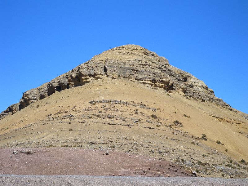
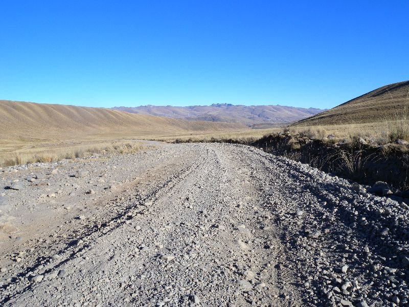
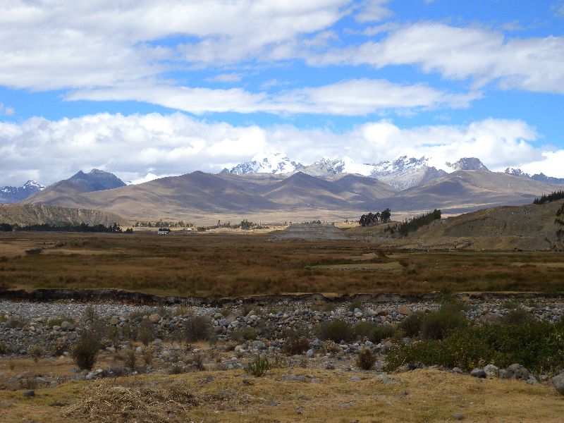
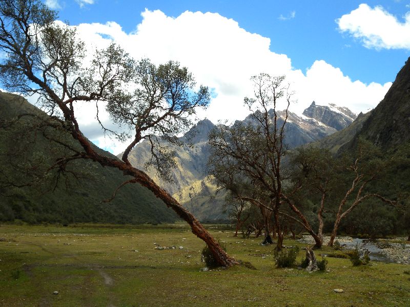
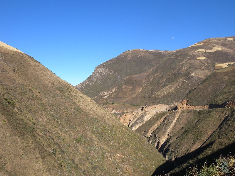
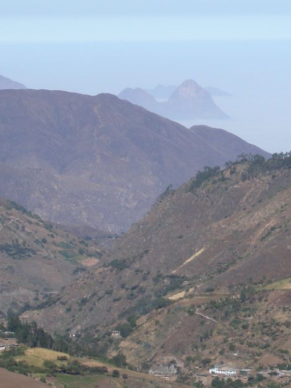
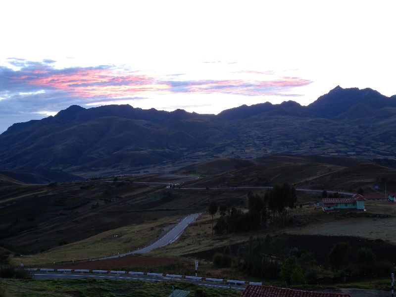
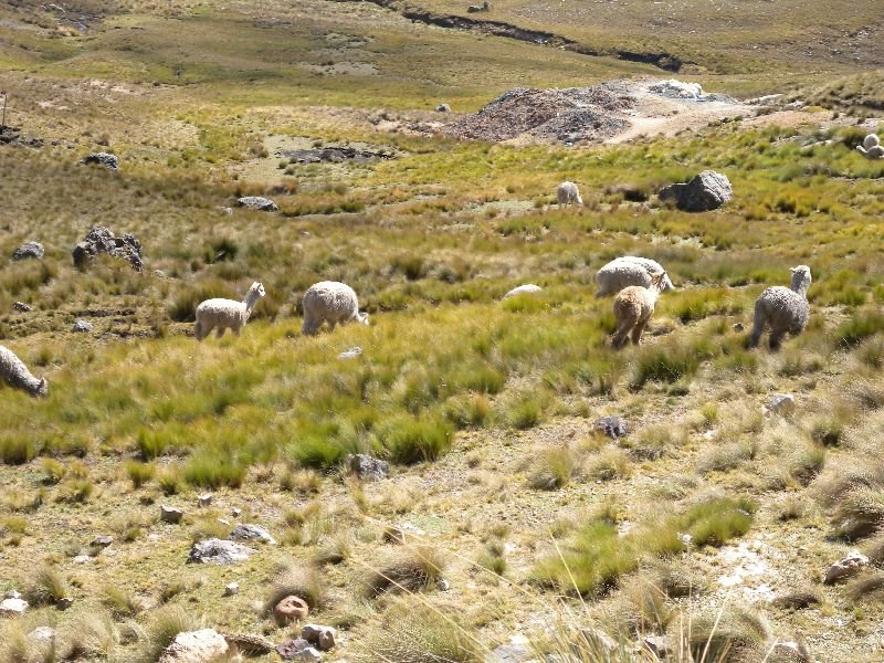
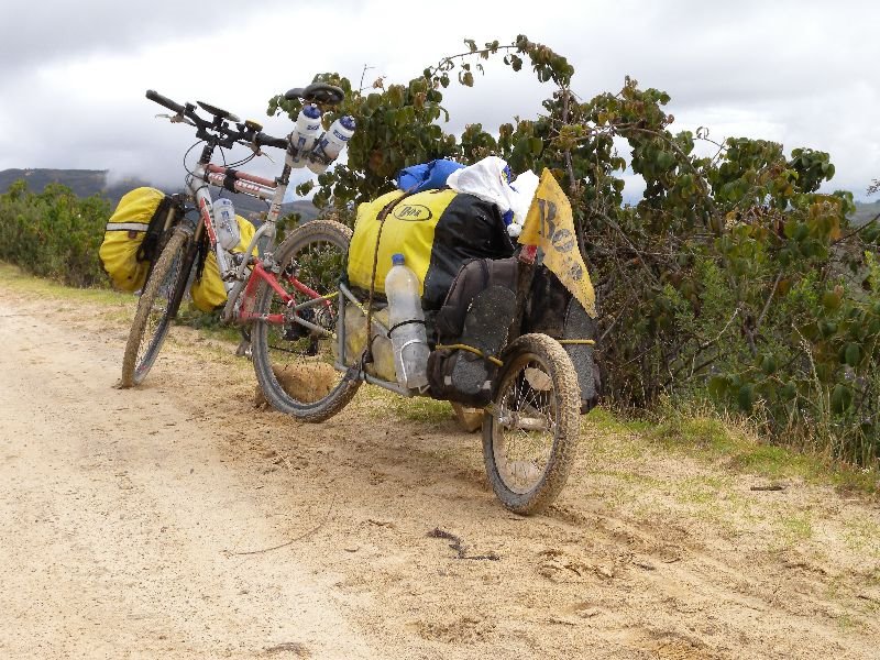
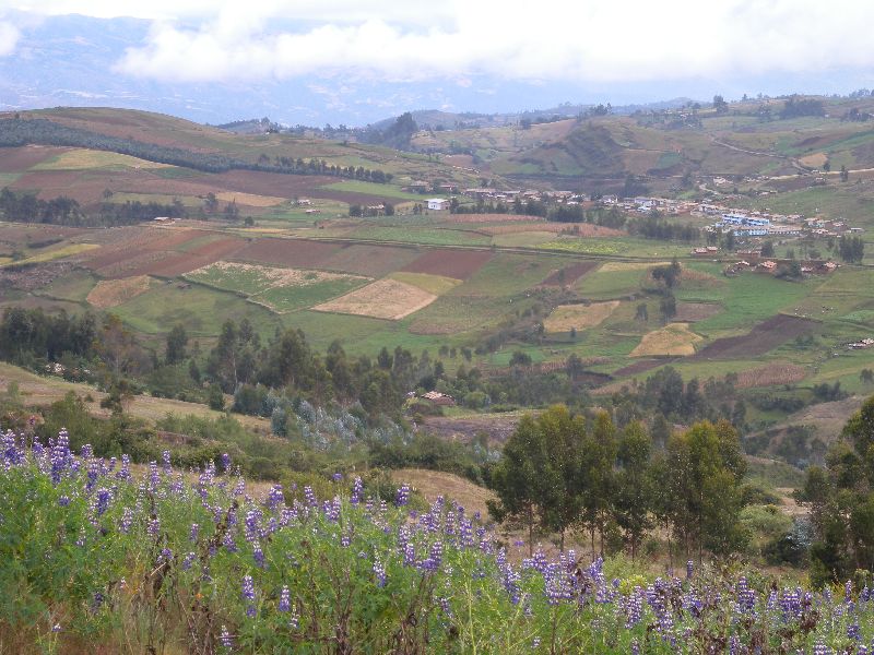
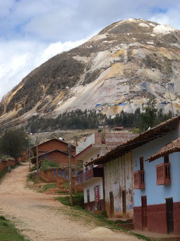
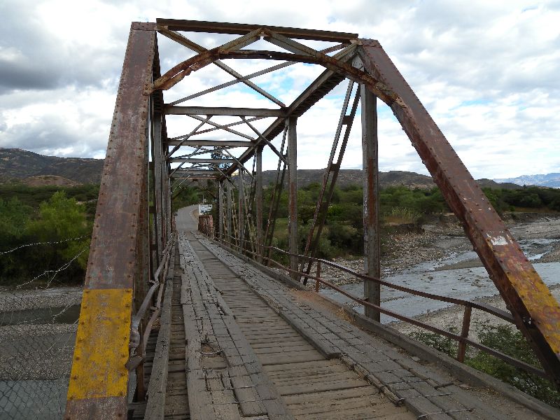
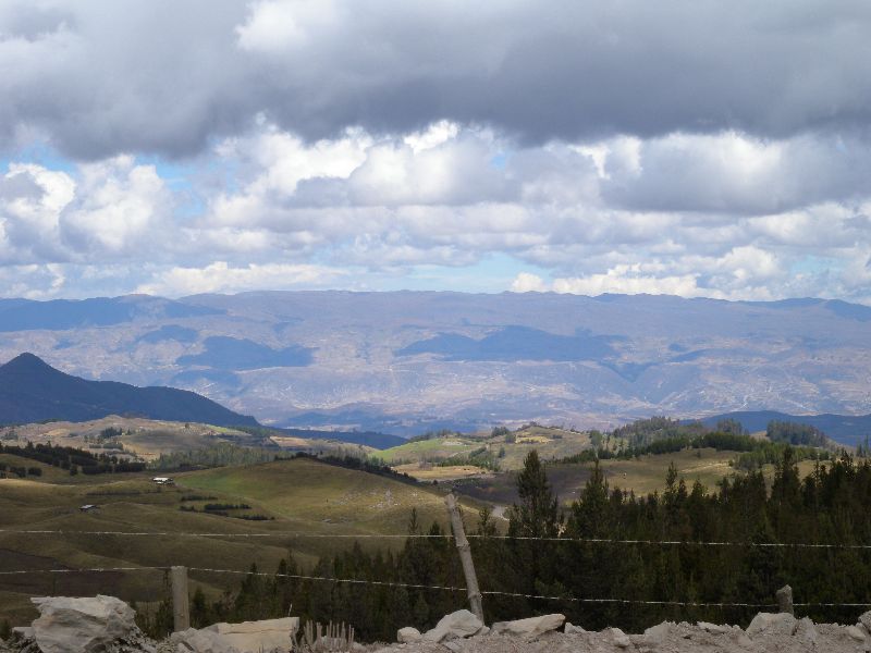
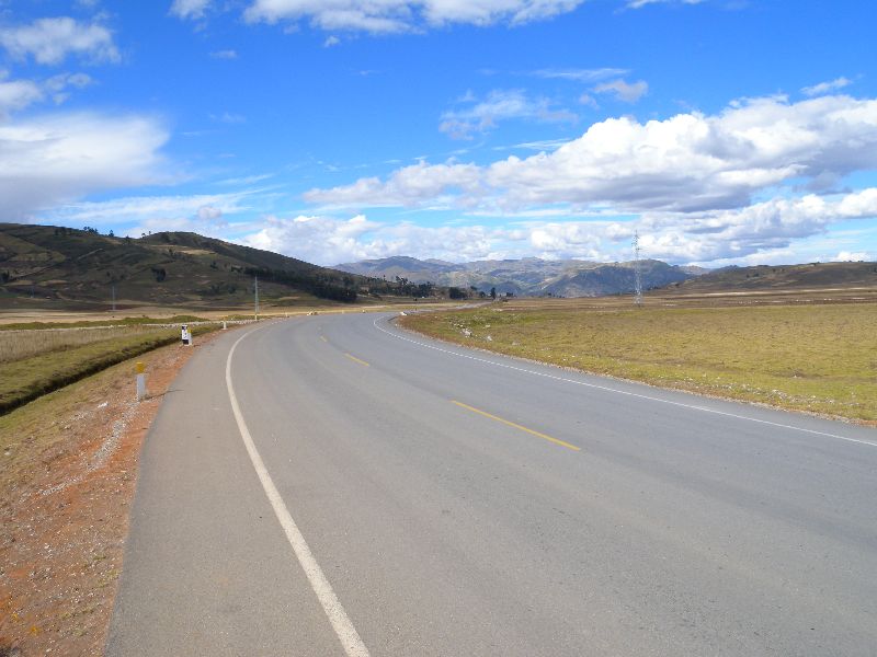
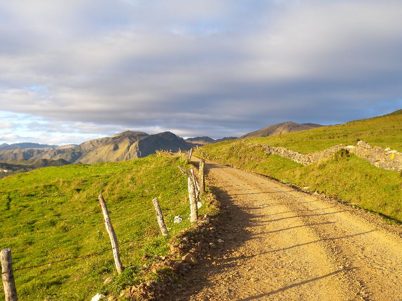
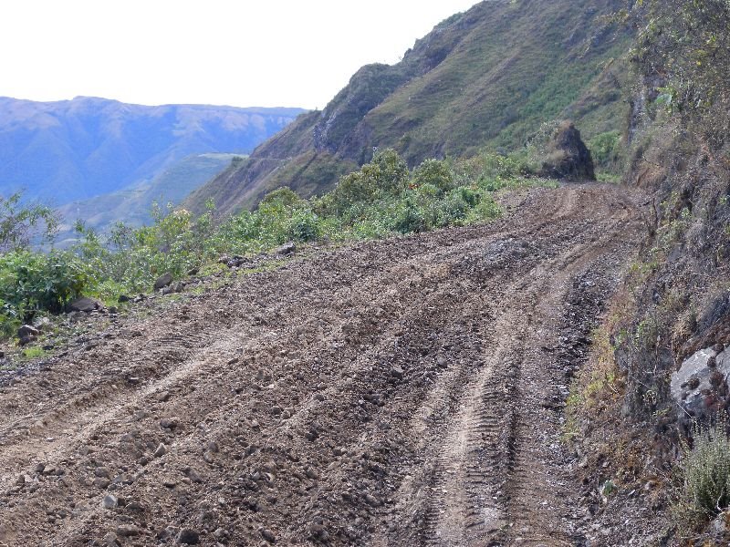
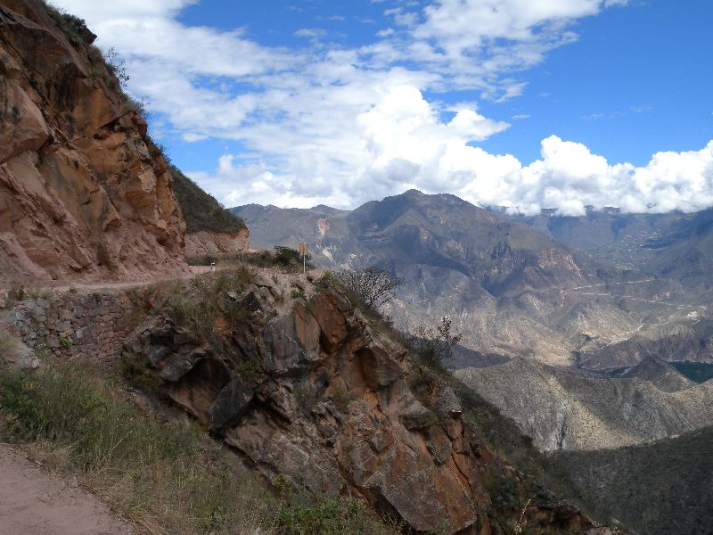
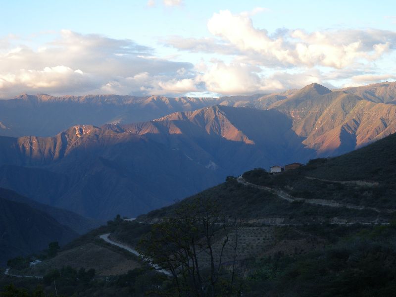
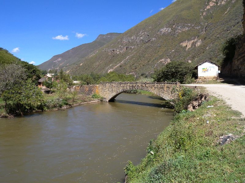
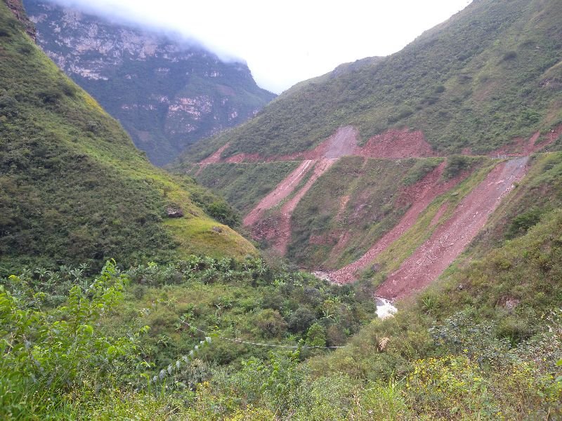
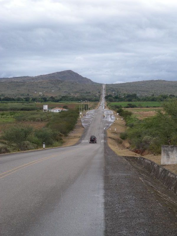
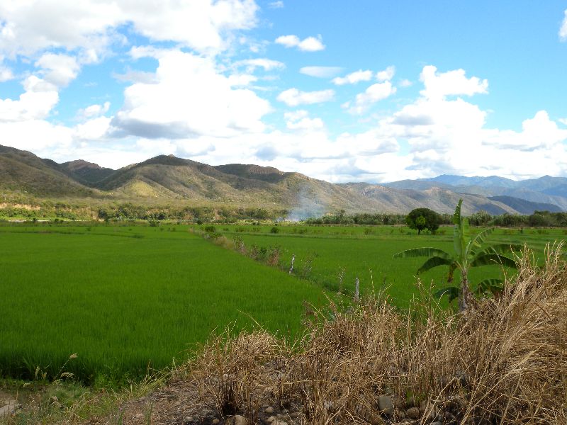
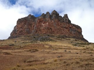
nice climb up to the corona de inca at 4000m and then a 40km downhill on hard rock/gravel roads, before we finaly reached paved road 5km before huanuco.
73.99km 692 alti meter
nice climb up to the corona de inca at 4000m and then a 40km downhill on hard rock/gravel roads, before we finaly reached paved road 5km before huanuco.


posted by x-sound at
3:33 PM
0 Comments
![]()